

General project information
- Client: Avincis / GAIN (Xunta de Galicia)
- Sector: Emergencies and Environment / Public Sector
The technology solution
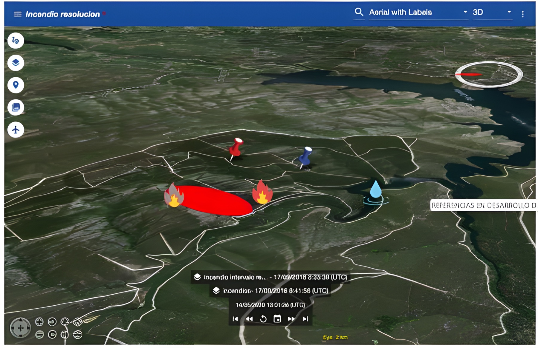
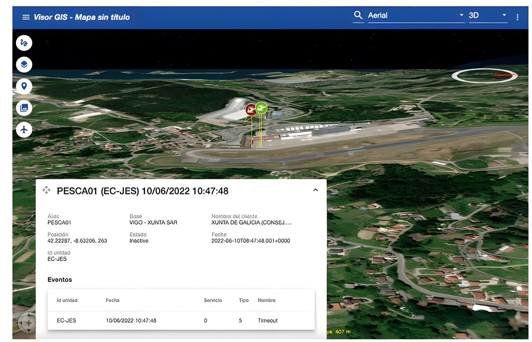
An interactive on-screen map showing the real-time location of teams, aircraft and the fire front during wildfires or emergencies. It also combines weather data (such as wind or temperature) to help coordinators make quick decisions and coordinate ground staff.
Technology stack: Java Spring Boot, JHipster, Liquibase, Angular, GeoServer, TypeScript, NASA World Wind, Keycloak.
Further information
A key tool for forward command posts in the fight against wildfires.