

General project information
- Client: Avincis / GAIN (Xunta de Galicia)
- Sector: Aerospace, Defence and Emergencies / Public Sector
The technology solution
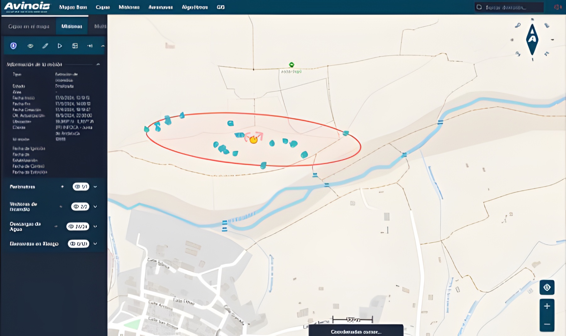
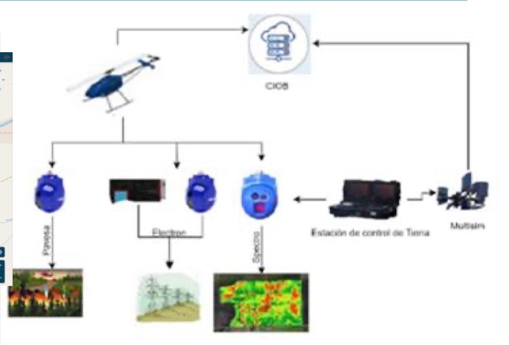
A centralised system to manage and query the information gathered by aircraft during their missions. Users can view maps and operational data in real time and access a web portal to download organised data files and reports simply and securely.
Technology stack: Hasura, MinIO, Traefik, Airflow, Kafka, GraphQL, Debezium, GeoServer, PostgreSQL, PostGIS, Next.js, Docker, NiFi, React JS, GeoNetwork, Apache, NestJS, Keycloak, Python, Hadoop, TypeScript, Grafana, OpenLayers.
Further information
Project developed within the Civil UAVs Initiative led by the Xunta de Galicia.
